
Wetland delineation
On-site boundary determination with vegetation, soils, and hydrology documentation.
Let’s talk about wetland delineation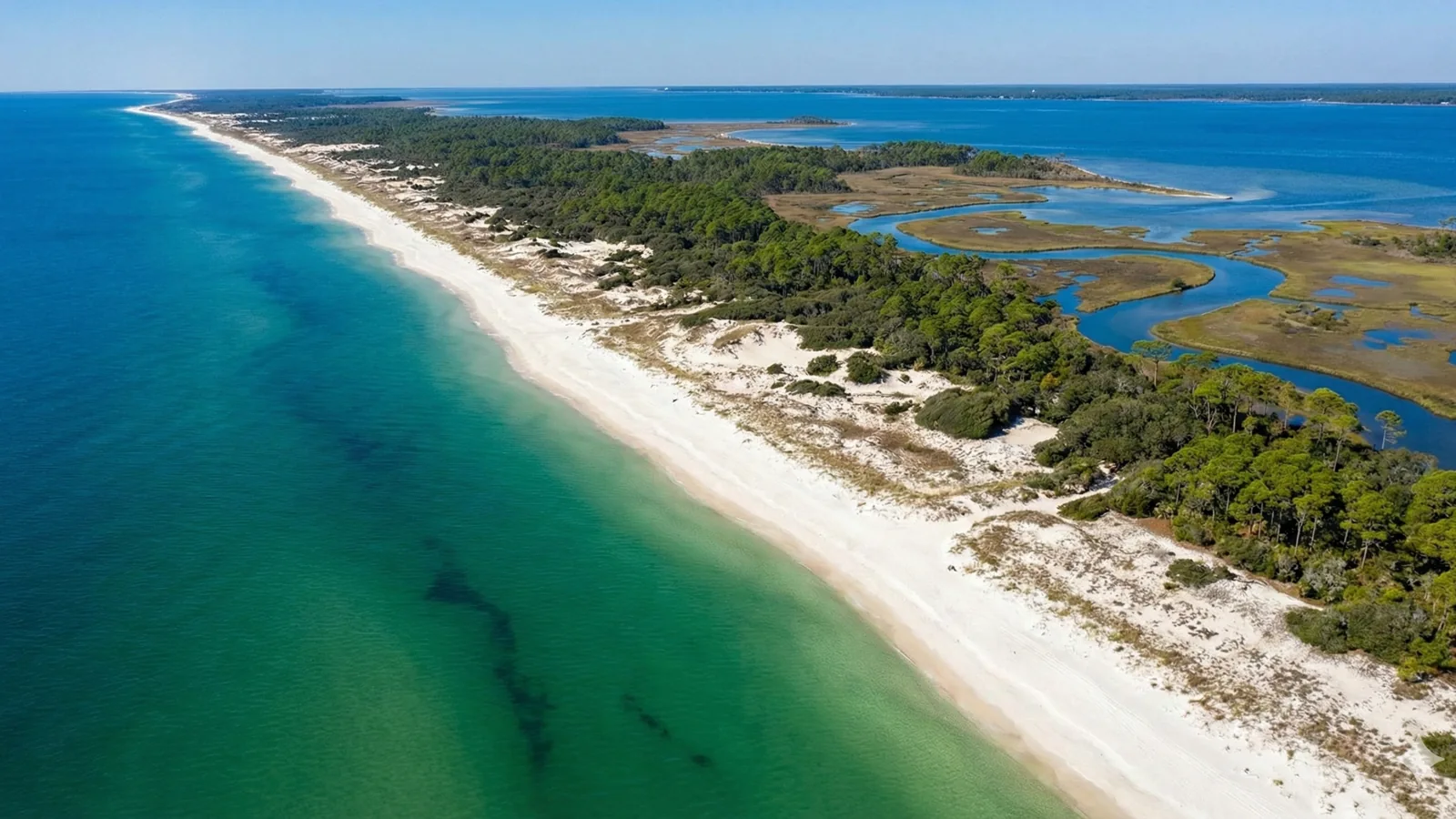
Does your Florida property have wetlands? Check mapped wetlands, soils and flood zones, then understand what needs a closer look on the ground.
Load the interactive map when you are ready. Live map code and public data stay off the critical page-load path.
Use text-based EA data and official sourcesStart with a location. Leave with a clearer next step.
Find an address, a place, or your current location.
See aerial imagery alongside wetlands, soils, and flood data.
Inspect mapped features and the sources behind them.
Bring your questions to a field-verification conversation.
Independent screening tool. Agency references do not imply endorsement. NWI is served through Florida DEP. FDOT is a reference resource; not all datasets are integrated as map layers.
Practical environmental support for landowners, builders, and planners.
On-site boundary determination with vegetation, soils, and hydrology documentation.
Let’s talk about wetland delineation
Clear guidance on federal, state, and local requirements based on your project goals.
Let’s talk about permitting strategy
Impact avoidance, mitigation options, and agency coordination support.
Let’s talk about mitigation planning
Land-use due diligence, feasibility review, and a practical path forward.
Let’s talk about consulting & supportLocal expertise in Southwest & Central Florida.
Tell us where you’re working and what you’re planning. We’ll help connect the desktop picture to conditions on the ground.
Review listed vertebrates for all 67 Florida counties, open IPaC and FNAI sources, and download a field-review worksheet.
Learn how to check mapped wetlands, compare soils and flood zones, and decide what needs field verification.
Read the property wetlands guide →